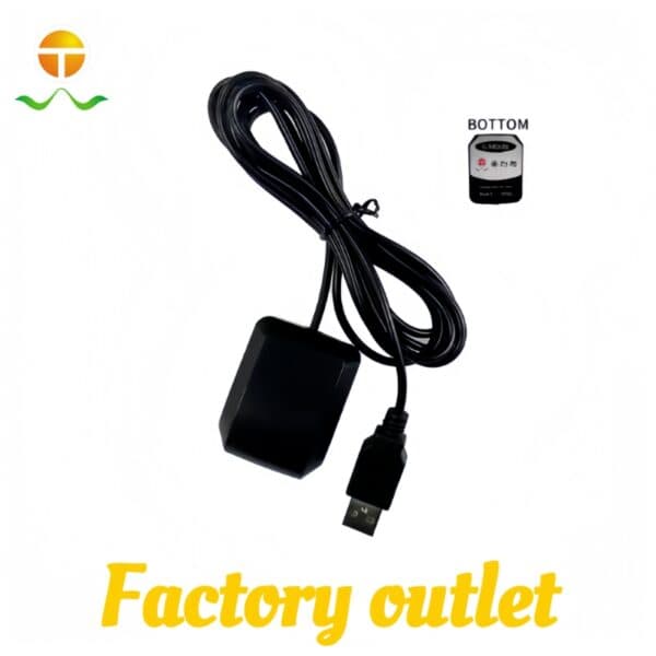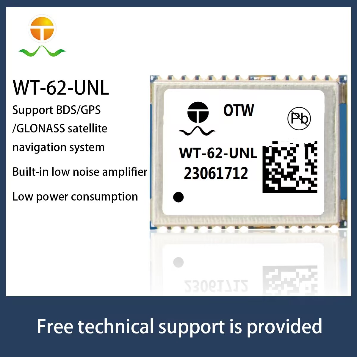
Imaginez un drone de livraison manœuvrant entre des immeubles de grande hauteur, ou une voiture entrant dans un tunnel souterrain sous la pluie. Reliable tracking keeps both platforms moving safely along designated paths. Integrating modern navigation & GPS modules provides stable location tracking across varying field conditions. Advanced positioning units offer strong multi-satellite tracking while maintaining strict lead-free compliance and safety standards. Par conséquent, these components boost system reliability in challenging outdoor environments. You can explore our catégorie de produit for specialized tracking hardware options.
Pain Points in Autonomous Navigation
Engineers frequently face distinct operational hurdles when deploying mobile tracking systems:
Signal Interference in Dense Urban Canyons
Tall buildings obstruct satellite sightlines and cause signal reflection during city transit. Standard receivers often drop navigation & GPS locks, causing vehicle positioning errors on narrow streets.
High Power Consumption in Portable Systems
Compact drones and handheld mapping devices operate on tight battery budgets. Heavy power draw limits operational flight times and shortens overall device usage periods significantly.
Weak Signals in Complex Rural Environments
Agricultural drones operating under heavy tree canopies frequently lose weak satellite signals. Poor signal reception leads to incomplete field mapping and interrupted automated flight paths.
Security Vulnerabilities and Signal Spoofing
Modern autonomous platforms require protection against intentional signal manipulation or data corruption. Unprotected systems risk route divergence during critical commercial survey operations.
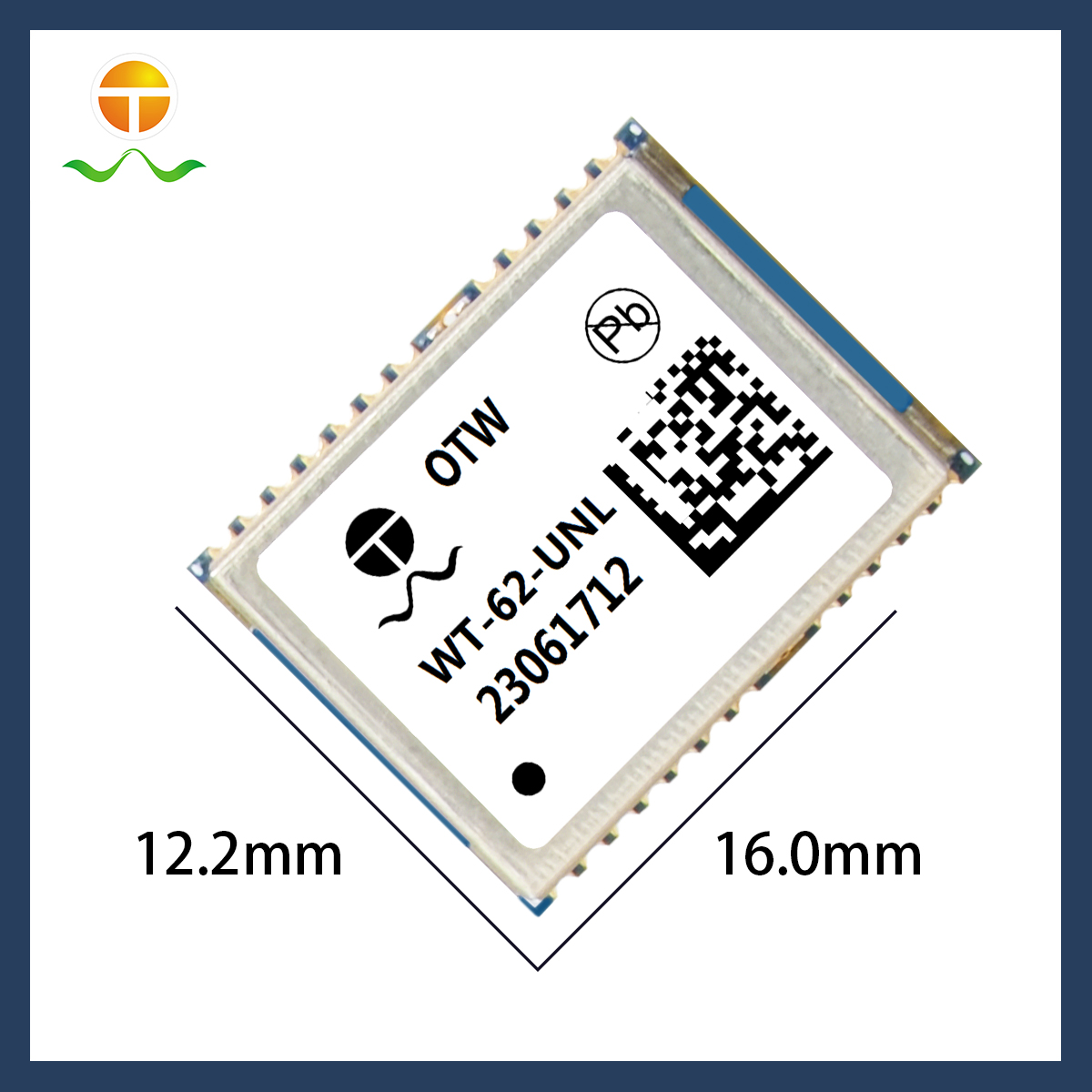
Technical Solution: The WT-62-UNL Module
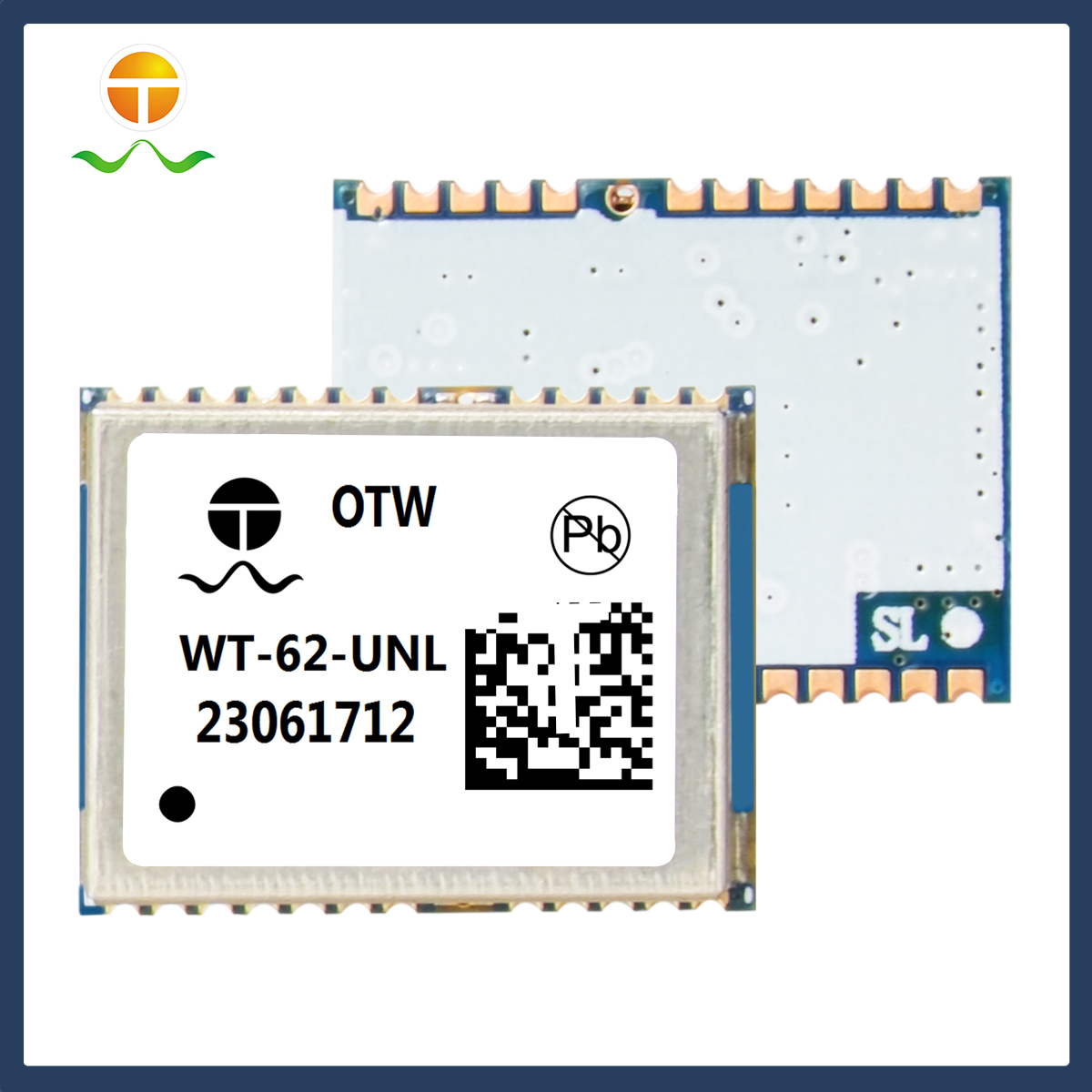
The WT-62-UNL receiver addresses these operational demands through robust technical features:
Multi-Constellation Concurrent Reception
Le module supports concurrent reception of up to 3 GNSS networks simultaneously. Il suit le GPS, Galileo, Glonass, and BeiDou systems seamlessly to maintain reliable coverage everywhere.
Low Noise Amplifier and Augmentation Support
An integrated Low Noise Amplifier (LNA) boosts weak signals in obstructed environments effectively. En outre, full support for satellite augmentation systems enhances overall signal stability during transit.
Energy Efficiency and Security Protection
Optimized hardware architecture ensures minimum current consumption, extending battery runtime for portable devices. Built-in security features provide integrity protection against potential signal interference.
Multi-Industry Application Compatibility
From car dashcams to smart agriculture, the compact module fits diverse commercial electronics. Engineers integrate this hardware easily into survey cameras, appareils portables, and wearable technology. Consultez notre technical guide for full integration guidelines.
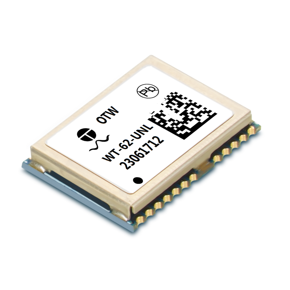
Specifications and Operational Comparison
|
Fonctionnalité / Paramètre |
WT-62-UNL Navigation Receiver | Standard Single-Constellation Module |
|
Satellite Support |
Jusqu'à 3 Concurrent Systems (GPS, Beidou, Glonass, Galileo) |
Système unique (GPS uniquement) |
|
Amplification des signaux |
Built-in Low Noise Amplifier (LNA) |
External Amplifier Required |
|
Power Profile |
Minimum Current Consumption Design |
Standard Power Profile |
|
Prise en charge des augmentations |
Supports All Satellite Augmentation Systems |
Basic SBAS Support |
|
Sécurité & Integrity |
Integrated Security Protection |
Standard Signal Processing |
| Primary Application Boundary | Drones, Agriculture intelligente, Urban Dashcams |
Basic Asset Tracking and Pedestrian Wearables |
Foire aux questions
How do multi-constellation navigation & GPS modules improve drone positioning?
Tracking three satellite networks concurrently provides fallback signals when tall structures block line-of-sight view. This capability keeps flight paths stable in dense urban zones.
Why is low power consumption critical for smart agriculture drones?
Efficient power usage reduces overall battery strain during long mapping flights over broad farm fields. Drones cover larger operational areas without requiring frequent battery swap breaks.
How does the built-in LNA benefit vehicle navigation & GPS systems?
The Low Noise Amplifier boosts faint satellite signals before noise processing occurs. This feature helps car dashboards maintain continuous position locks near dense tree cover.