The Costly Reality of Signal Drifts in Modern Industrial Autonomous Systems
Every experienced engineer understands the deep frustration of watching an autonomous delivery drone drift off course. You deploy a highly advanced vehicle layout, yet standard consumer-grade positioning chips lose tracking under light tree canopies.
Folglich, your expensive field machinery halts operations entirely, leaking valuable project hours and driving up manual troubleshooting costs. Standard retail navigation trackers cannot handle complex urban canyons or dense industrial warehouse interference zones safely.
Partnering with a specialized GPS receiver manufacturer resolves these painful tracking vulnerabilities permanently. This technical engineering guide breaks down how custom precise positioning modules secure absolute navigation safety across diverse environments.
Choosing tailored signal hardware allows growing industrial tech firms to maintain absolute spatial visualization accuracy. We will explore multi-constellation satellite tuning, real-time kinematic processing, dual-frequency hardware architecture, and asset deployment layouts below.
Eliminating Positioning Drift with Dual Frequency GNSS Hardware
Operating heavy autonomous farming tractors requires an incredibly steady, uncompromised geographic data pipeline throughout the day. Standard single-frequency satellite trackers suffer from ionospheric delays, causing positioning calculations to drift by several meters unexpectedly.
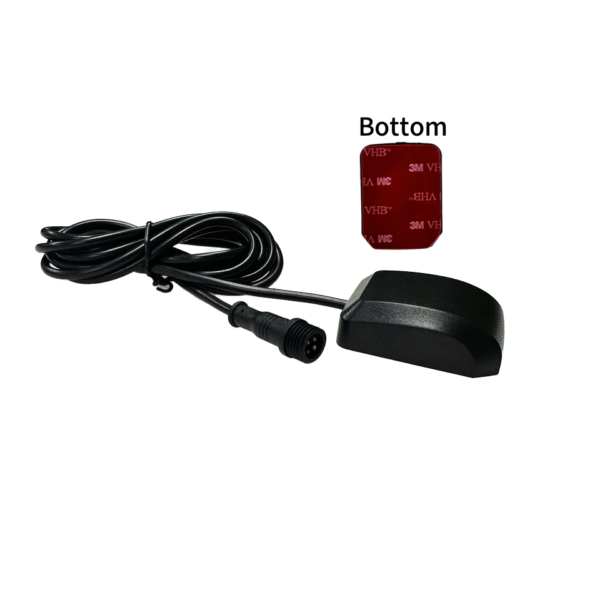
Sourcing heavy-duty dual frequency gnss hardware completely eradicates this annoying environmental signal distortion issue. An expert GPS receiver manufacturer builds these premium boards to process L1 and L2 satellite signal bands simultaneously.
This dual-band connection allows the internal processing chip to calculate and cancel out atmospheric signal delays instantly. Infolge, your autonomous vehicles maintain perfectly straight tracking lines across wide open agricultural fields effortlessly.
Your field operations run smoothly without experiencing sudden guidance deviations or expensive overlapping field coverage errors. This technical stability maximizes your daily fuel efficiency while protecting valuable growing crops from accidental tire damage.
Achieving Precision Boundaries via Centimeter Level RTK Boards
Executing precise drone mapping surveys over dense urban infrastructure projects demands absolute spatial data accuracy. Basic satellite tracking chips only provide multi-meter accuracy, which ruins professional engineering blueprints and architectural site maps.
Implementing high-performance centimeter level rtk boards shields your surveying teams from making these costly mapping errors. These micro-boards utilize real-time kinematic differential corrections to achieve absolute positioning precision under two centimeters.
-
Instant Phase Carrier Tracking: Measures fractional satellite wave distances to pinpoint exact physical locations instantly.
-
Rapid Base Station Syncing: Streams live correction data packets to mobile rovers over secure radio frequencies.
-
Multi-Constellation Satellite Signal Locking: Gathers orbital data from GPS, Glonass, Galileo, and BeiDou networks concurrently.
-
Advanced Multipath Error Mitigation: Filters out false satellite signal reflections bouncing off tall glass skyscrapers.
This complete sensor integration ensures your field mapping data remains perfectly sharp across tight physical construction zones.
Securing Asset Fleets with Industrial Mapping Sensor Units
Managing a massive fleet of maritime container vessels or urban transit buses creates complex tracking coordination challenges. Standard consumer tracking devices overheat under harsh marine sun exposure, short-circuiting internal electrical paths during long ocean voyages.
Deploying ruggedized industrial mapping sensor units protects your global tracking network from facing these sudden hardware failures. These professional-tier assemblies feature durable aluminum outer enclosures built to survive extreme weather shifts easily.
Comparative Performance Breakdown of GNSS Hardware Options
Achieving total supply chain visibility requires matching your vehicles to the correct grade of tracking hardware. Review this detailed performance comparison matrix to guide your enterprise hardware purchasing decisions.
| Selected Hardware Class | Spatial Accuracy Limit | Supported Satellite Bands | Temperature Endurance Range | Primary Asset Target |
| Consumer Smartwatch Chips | 5.0 Zu 10.0 Meter | Einzelband (Nur L1) | 0°C to 35°C (Low Bounds) | Personal Fitness Tracking |
| Vehicle Fleet Dongles | 2.0 Zu 5.0 Meter | Einzelband (Nur L1) | -20°C to 60°C (Mäßig) | Basic Fleet Route Logistics |
| Industrial RTK Modules | 0.01 Zu 0.02 Meter | Multi-Band (L1, L2, L5) | -40°C bis 85 °C (Extrem) | Autonomous Field Robotics |
Scaling Enterprise Fleet Workflows with Precise Positioning Modules
Integrating custom precise positioning modules into your corporate tech stack unlocks incredible long-term operational scaling potential. Modern logistics directors rely on these specialized boards to build fully automated port container stacking systems.
The internal high-performance processing chips compute complex spatial velocity vectors hundreds of times every single second. This high processing speed allows your automated gantry cranes to position heavy cargo boxes with absolute certainty.
You eliminate costly crane positioning errors, preventing dangerous warehouse accidents and reducing port transit bottlenecks significantly. This automated safety loop helps your shipping terminal handle larger cargo volumes without expanding physical yard boundaries.
Your entire container yard runs like a well-oiled machine, satisfying demanding international maritime shipping lines consistently. Your brand builds an impeccable reputation for speed, anchoring your dominant position within the global logistics sector.
The Strategic Financial Value of Custom OEM Hardware Sourcing
Partnering with a dedicated GPS receiver manufacturer delivers immense long-term financial advantages for scaling technology companies. Savvy chief financial officers look past upfront equipment costs to calculate the reduction in warranty repair liabilities.
Erste, buying custom-engineered OEM receiver boards allows your product developers to control the exact hardware footprint size. When your internal boards fit your product housings perfectly, you eliminate fragile adapter wire connections completely. This design focus reduces hardware failure rates.
Zweite, securing direct manufacturer support guarantees long-term component availability for your primary product assembly lines. You insulate your manufacturing schedules from unexpected global microchip shortage panics and component obsolescence crises. Your specialized hardware supply chain ceases to be a business risk and becomes a core competitive advantage.
Why Expert GNSS Engineering Drives Modern Automation
Looking back across our deep positioning analysis, empirical operational data proves specialized GNSS hardware is mandatory. Moving away from cheap consumer-grade tracking chips removes the signal drifts that derail autonomous industrial equipment.
By placing a professional GPS receiver manufacturer at the center of your engineering strategy, you take control. Ensuring your autonomous fleets track via dual-frequency, centimeter-level RTK modules shields your business from costly spatial calculation errors. Invest in premium industrial positioning infrastructure today to secure your asset precision and dominate your technology market.