Challenges Farmers Face in Crop Monitoring
Limited Accuracy with Standard GPS
Traditional GPS lacks the precision required for modern farming. Even small errors in location data can cause poor spraying and inefficient mapping. For crop monitoring, an error of 1–2 meters is too large to ensure accuracy.
Inconsistent Crop Health Data
Without precise coordinates, drone-based imaging often produces inconsistent data. Farmers struggle to compare results over time, reducing confidence in long-term decision-making. Accurate crop monitoring requires centimeter-level positioning.
Higher Costs in Manual Inspections
Manual crop inspections consume time and labor. In large fields, human monitoring is slow and costly. Farmers need solutions that save costs without reducing accuracy.
Risk of Overlap and Gaps in Spraying
When drones fly without accurate positioning, overlap or gaps occur in spraying. This leads to wasted fertilizers and uneven crop health. Over-application also increases environmental risks.
Inefficient Integration with Precision Agriculture Systems
Modern farms use IoT, smart tractors, and automated irrigation. Without RTK GPS for drones, it is difficult to integrate aerial data into precision agriculture platforms. This reduces the value of the entire system.

Technical Solutions with RTK GPS for Drones
Centimeter-Level Positioning
RTK GPS for drones provides centimeter-level accuracy by correcting satellite signals in real time. According to industry data, RTK systems reduce errors from 1–2 meters to less than 2 см. This level of accuracy ensures reliable crop monitoring.
Consistent Data Over Time
By recording precise coordinates, drones capture data at the exact same point across multiple flights. Farmers can track changes in crop health more effectively, enabling better decision-making.
Improved Efficiency in Field Mapping
RTK-enabled drones create more efficient flight paths. Research shows flight overlap can be reduced by 15% with RTK, saving battery life and field time. This lowers operational costs.
Reduced Input Waste
Accurate RTK positioning eliminates unnecessary overlaps. Farmers report fertilizer and pesticide savings of 10–15% when using drones equipped with RTK GPS. This reduces waste and environmental impact.
Better Integration with Smart Agriculture
RTK GPS data integrates seamlessly with GIS platforms, precision irrigation, and automated tractors. This connectivity enhances the entire smart farming ecosystem, giving farmers complete control.
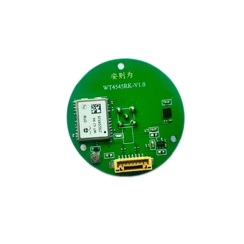
Why Choose Anze RTK GPS for Drones
For farmers looking to upgrade, choosing Антик’s drone GPS RTK ensures reliable and precise crop monitoring. Anze specializes in navigation, позиционирование, отслеживание, время, коммуникация, и беспроводное соединение. With years of expertise, our professional team offers customized RTK solutions for your agricultural needs.
Anze RTK GPS delivers:
-
High precision: Centimeter-level accuracy for reliable crop data.
-
Stable performance: Optimized for long-duration agricultural flights.
-
Integration-ready design: Works smoothly with smart farming platforms.
-
Custom solutions: Tailored hardware and software options for unique crops.
With Anze’s RTK GPS for drones, farmers gain more accurate crop health monitoring, better input efficiency, and improved yield. Choosing a reliable partner with industry experience ensures long-term benefits.

Long-Term Benefits of RTK GPS in Agriculture
-
Lower costs: Reduced fertilizer, pesticide, and labor expenses.
-
Higher yield: Improved crop monitoring leads to timely interventions.
-
Sustainability: Less chemical waste benefits the environment.
-
Risk reduction: Accurate data reduces uncertainties in decision-making.
Investing in RTK GPS for drones is not just about accuracy—it is about building a sustainable and profitable future for agriculture.
Заключение
RTK GPS for drones transforms agriculture by offering centimeter-level positioning, efficient mapping, and accurate crop monitoring. Farmers who adopt RTK systems gain better insights, сократить отходы, and improve profitability.
By choosing Anze’s RTK GPS for drones, you gain access to reliable technology, professional expertise, and tailored solutions. With over a decade of experience in wireless connectivity and navigation systems, Anze is the partner farmers can trust.
Discover more about our solutions in our продукт or explore technical details in our гид.