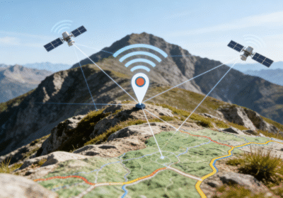
지리정보시스템의 세계 (GIS) 전적으로 공간 데이터의 품질에 의존합니다.. 전통적으로, field workers faced a difficult choice between high precision and long battery life. Standard GPS units often struggle in “도시 협곡” or under heavy forest canopies. 하지만, the emergence of low power dual frequency GNSS technology has changed the landscape. This innovation allows handheld devices to achieve sub-meter accuracy without draining the battery in hours. 따라서, surveyors can collect more reliable data over longer shifts in the field. This guide explores the technical mechanics behind dual-frequency signals and their impact on GIS. We will help you understand why this hardware shift is essential for modern mapping. Let us dive into the future of high-precision location data.
The Science of Two: Why Dual Frequency Matters 📡🔬
To understand the benefits, we must first look at how satellite signals travel to Earth. Standard GNSS receivers only use one frequency, typically the L1 band.
The Problem with Single Frequency
As the L1 signal passes through the Earth’s ionosphere, it slows down and refracts. This delay causes “ionospheric error,” which can move your position by several meters. 뿐만 아니라, single-frequency signals are highly susceptible to “multipath” interference. Multipath occurs when signals bounce off buildings or trees before hitting your receiver.
The Dual-Band Solution
A low-power dual-frequency GNSS receiver tracks two different signals, such as L1 and L5. Because these frequencies react differently to the atmosphere, the receiver can calculate the exact delay. 따라서, the device cancels out the ionospheric error almost entirely. This mathematical correction results in a much cleaner, more accurate position fix for your GIS layers.

Breaking the Battery Barrier: 그만큼 “Low Power” Revolution
Historically, dual-frequency chips were power-hungry components reserved for expensive survey gear. Field workers had to carry heavy external battery packs to finish a day’s work.
-
Efficient Chipset Design: Modern silicon processes allow for massive calculations with minimal heat.
-
Optimized Duty Cycles: The software manages signal tracking to wake the chip only when necessary.
-
Integrated Mobile Platforms: You can now find this tech inside rugged tablets and smartphones.
-
Extended Field Time: Surveyors can work for 10+ hours on a single charge while maintaining high precision.
These advancements mean you no longer sacrifice mobility for accuracy. A low-power dual-frequency GNSS setup provides the best of both worlds for mobile GIS teams.
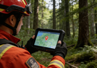
Enhancing GIS Data Collection in Challenging Environments 🌲
GIS professionals often work in environments where satellite signals are far from perfect. This is where dual-frequency technology truly proves its worth to the user.
Mastering Urban Canyons
In dense cities, tall skyscrapers block direct lines of sight to satellites. Dual-frequency receivers use the L5 signal, which has a higher “치핑율” than L1. This makes the signal much easier to distinguish from reflected “ghost” signals. 그러므로, you get a stable blue dot on your map, even between towering office buildings. 🏙️
Penetrating Dense Vegetation
Foresters and environmental scientists often struggle with “foliage attenuation.” The L5 band is more robust and survives the trip through leaves and branches better than L1. 따라서, your low-power dual-frequency GNSS device maintains a lock where older units would fail. This ensures that every tree or asset you map is exactly where it should be.
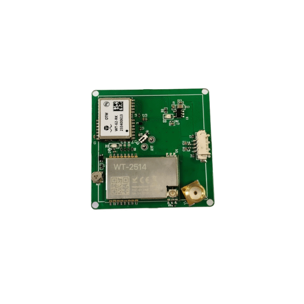
Applying Low-Power Dual-Frequency GNSS to GIS Hardware
Gain insight into the technical sophistication of low-power, dual-frequency GNSS. We apply these standards with the aim of assisting you in selecting the most reliable GIS tools.
Technical Expertise in Spatial Geodesy
Reliable GIS data requires an expert understanding of coordinate reference systems and signal processing. High-end receivers must account for “clock errors” 그리고 “satellite ephemeris” updates. Our analysis focuses on hardware that automates these complex tasks for the user.
Authoritative Accuracy Standards
Trustworthy hardware manufacturers provide detailed “RMS” (Root Mean Square) error reports. Always look for devices that have been field-tested by independent GIS professionals. Authoritative brands like 안제 or specialized GNSS firms offer verified specs that you can rely on for legal or structural mapping. 📋
The Strategic Benefits for Enterprise GIS Workflows
Upgrading your fleet to low power dual frequency GNSS is a strategic business decision. It offers a high Return on Investment (ROI) by reducing the need for “office-side” data cleanup.
-
Reduced Post-Processing: Cleaner raw data means less time spent correcting errors in ArcGIS or QGIS.
-
Higher Confidence Levels: Managers can trust that field data is accurate to within 50–80 centimeters.
-
Faster Field Cycles: Workers spend less time waiting for a “High Accuracy” status on their screens.
-
Lower Hardware Costs: Modern low-power chips are significantly cheaper than old-fashioned RTK base stations.
By streamlining the collection process, you save hundreds of man-hours over a single project. This efficiency allows your team to take on more complex contracts with tighter accuracy requirements.
Common Myths About Dual Frequency GNSS 🚧
Despite the clear benefits, some misconceptions still exist in the GIS community. Let us clarify two frequent myths about this technology.
Myth 1: You only need dual frequency if you are doing “survey-grade” work. In reality, 심지어 “mapping-grade” projects benefit from the increased stability in difficult areas. If you map underground utilities or property boundaries, sub-meter accuracy is a basic requirement.
Myth 2: Dual frequency always means a much larger device. Modern low power dual frequency GNSS chips are tiny enough to fit inside a standard smartwatch. You can now carry professional-grade positioning power in your pocket or clipped to a vest.
Integrating GNSS with Modern GIS Mobile Apps 🔗
Hardware is only half of the story; it must work seamlessly with your software. Most modern GIS apps like Esri Field Maps or Mergin Maps support external GNSS metadata.
This metadata includes the number of satellites used and the specific “DOP” (Dilution of Precision) values. When you use a low power dual frequency GNSS receiver, your app records these high-quality metrics automatically. This “digital paper trail” proves the authoritativeness of your data to clients and government regulators. 🏛️
Precision That Powers Decisions
The shift toward low power dual frequency GNSS represents a major milestone for the GIS industry. It removes the traditional barriers of signal interference and high power consumption. You can now collect highly accurate data in the deepest forests and the densest cities. This technology ensures that your maps are not just “close enough,” but truly precise. By investing in modern dual-band hardware, you protect the integrity of your spatial database for years to come.
Are you ready to eliminate positioning errors and boost your field team’s efficiency? Start by auditing your current GNSS hardware and exploring the latest low-power dual-band solutions today! 🌍