Dans la construction moderne, la précision détermine chaque décision. Les outils d'arpentage traditionnels ne suffisent plus pour les grandes, sites complexes. That’s where UAV RTK GNSS Centimeter-Level technology steps in.
By offering centimeter-level accuracy, UAVs equipped with RTK GNSS antennas have revolutionized how contractors and engineers collect, process, and analyze site data. The result? Faster workflows, higher precision, and reduced operational costs.
This article explores how UAV RTK GNSS accuracy is transforming construction surveys and why it’s becoming a must-have for today’s smart infrastructure projects.
What Is UAV RTK GNSS and Why Does It Matter?
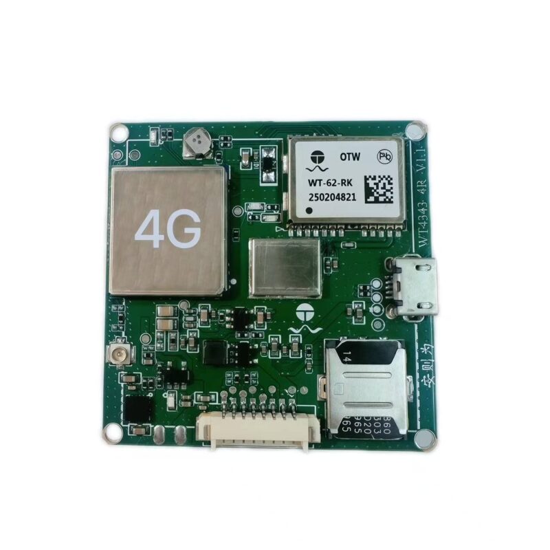
RTK GNSS is an advanced satellite-based positioning system that provides real-time centimeter-level accuracy by using correction signals from a base station or network.
In UAV applications, cela signifie que les drones peuvent capturer des données d'enquête qui rivalisent, voire surpassent les stations totales traditionnelles en termes de précision, tout en couvrant bien plus de zones en moins de temps..
Principales caractéristiques des systèmes GNSS RTK pour drones
-
Correction en temps réel: Fournit une précision de position instantanée pendant le vol.
-
Précision centimétrique: Idéal pour les tâches critiques d’ingénierie et de cartographie topographique.
-
Acquisition rapide de données: Réduit considérablement le temps de mesure manuelle.
-
Connectivité stable: Assure des signaux fiables même dans des environnements difficiles.
-
Compatibilité: Fonctionne de manière transparente avec les principaux systèmes de drones et de logiciels de cartographie.
Cette combinaison fait des drones équipés du RTK GNSS la solution idéale pour les industries exigeantes en précision comme l'arpentage de la construction., exploitation minière, et inspection des infrastructures.

Comment la précision centimétrique du drone RTK GNSS améliore les enquêtes de construction
Accuracy is the foundation of construction planning, layout, and progress tracking. Let’s explore how UAV RTK GNSS technology is reshaping the workflow from ground to sky.
1. Improved Topographic Mapping
With centimeter-level positioning, UAVs can map vast construction sites in a fraction of the time. The resulting 3D terrain models enable engineers to identify grading errors, plan drainage systems, and visualize surface variations with unmatched clarity.
2. Faster Site Layout and Design Validation
RTK GNSS drones eliminate the need for manual layout marking. Surveyors can quickly verify if structures align with design blueprints and detect deviations early—saving days of rework and reducing costly human errors.
3. Real-Time Progress Monitoring
Drones with GNSS RTK modules provide instant, high-accuracy updates for ongoing projects. Site managers can compare current and planned layouts, ensuring tasks remain on schedule. This improves accountability and supports proactive decision-making.
4. Reduced Labor and Equipment Costs
Using UAV RTK GNSS systems significantly lowers manpower requirements. Instead of deploying teams with bulky equipment, a single drone flight can collect gigabytes of precise data—reducing survey time by up to 70%.
5. Enhanced Safety and Accessibility
RTK drones can safely survey hazardous or hard-to-reach areas—such as high slopes, unstable ground, or heavy construction zones—without endangering human operators.

Why Construction Firms Are Adopting UAV RTK GNSS Solutions
Efficiency Meets Reliability
In a competitive construction environment, data-driven decision-making is key. UAV RTK GNSS systems help firms deliver accurate, repeatable results—even in time-sensitive conditions. This leads to:
-
Fewer delays and disputes
-
Lower project costs
-
Stronger client confidence
Integration with BIM and CAD Systems
RTK GNSS-based data easily integrates with Building Information Modeling (BIM) and Computer-Aided Design (CAD) software. This allows digital site models to be updated instantly, maintaining a single source of truth throughout the project lifecycle.
Scalable for Projects of Any Size
From small industrial sites to massive infrastructure projects, UAV RTK GNSS solutions scale effortlessly. Whether mapping a factory lot or a multi-hectare development, the accuracy remains consistently within 1–2 cm tolerance.
Selecting the Right UAV RTK GNSS System
When choosing a UAV RTK GNSS setup, focus on precision, stabilité, and software compatibility.
Key Considerations:
-
Antenna Quality: Opt for multi-frequency GNSS antennas supporting GPS, Glonass, Galileo, et Beidou.
-
Integration Options: Choose systems that connect easily to existing UAV control modules.
-
Correction Signal Support: Look for RTK or PPK (Post-Processed Kinematic) options based on field conditions.
-
Battery and Range: Ensure sufficient power for long flight durations.
The Future of Construction Surveying with UAV RTK GNSS
As construction moves toward automation and digital transformation, UAV RTK GNSS accuracy will become an industry standard. The technology not only saves time and labor but also builds trust through transparent, verifiable data.
Forward-thinking construction firms adopting UAV RTK GNSS systems are already seeing:
-
50–70% faster site surveys
-
Jusqu'à 30% cost savings per project
-
Reduced rework due to precise layout validation
In short, precision is profit—and UAV RTK GNSS technology delivers both.
Conclusion
UAV RTK GNSS systems bring a new era of accuracy, efficacité, and safety to construction surveying. With centimeter-level precision, construction companies can streamline operations, réduire les coûts, and deliver data-driven results.
As infrastructure projects grow more complex, RTK GNSS UAVs are no longer optional—they are the backbone of modern, intelligent construction management.
FAQ
T1: How accurate is UAV RTK GNSS for construction surveys?
UN: RTK GNSS drones can achieve centimeter-level accuracy, typically within 1–2 cm horizontally, ideal for construction layout and grading tasks.
T2: What’s the difference between RTK and PPK in UAV surveying?
UN: RTK provides real-time corrections during flight, while PPK processes corrections afterward. RTK is preferred for real-time applications like live site validation.
T3: Can RTK GNSS UAVs replace traditional survey equipment?
UN: Pour la plupart des projets à grande échelle, Oui. Les drones RTK offrent une couverture plus rapide, des coûts de main d'œuvre réduits, et une précision égale ou supérieure à celle des stations totales ou des rovers GNSS.