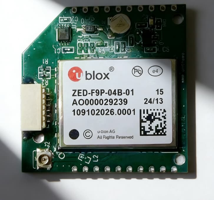
Accurate location data drives modern GIS projects. However, standard GNSS modules often limit precision. As a result, mapping errors increase rapidly. This is where an RTK Board for GIS Mapping changes expectations. RTK technology delivers centimeter-level accuracy. Therefore, professionals achieve reliable spatial data. This accuracy supports surveying, utilities, and infrastructure planning. Understanding the difference becomes essential.
Why Standard GNSS Accuracy Is No Longer Enough
Basic GNSS modules offer meter-level accuracy. For navigation, this accuracy often suffices. However, GIS mapping demands far more precision. Even small errors create costly consequences. An RTK Board for GIS Mapping addresses this limitation. It corrects satellite errors in real time. Consequently, positional reliability improves dramatically. This advantage defines professional-grade mapping systems.
Core Technology Differences Explained
Real-Time Kinematic Correction Capability
RTK boards process correction data continuously. They use base station or network corrections. As a result, positioning errors reduce significantly. Standard GNSS modules lack this function. RTK algorithms resolve carrier phase ambiguity. Therefore, accuracy improves to centimeters. This capability transforms raw satellite data. It enables survey-grade GIS mapping performance.
Multi-Band and Multi-Constellation Tracking
RTK boards support multiple frequency bands. They track GPS, GLONASS, Galileo, and BeiDou. This improves signal availability and reliability. Standard GNSS modules track fewer signals. Multi-constellation tracking reduces signal blockage effects. Therefore, performance improves in urban environments. GIS projects benefit from stable positioning. This stability supports long-duration fieldwork.
Hardware Architecture and Processing Power
Advanced Processing Units
RTK boards integrate high-performance processors. These processors handle complex correction algorithms. As a result, latency stays extremely low. Standard GNSS modules process simpler calculations. Low latency ensures real-time positioning updates. Therefore, moving surveys remain accurate. This capability supports mobile GIS platforms. It also benefits autonomous data collection.
Enhanced Antenna Interfaces
RTK boards pair with survey-grade antennas. These antennas improve signal quality. They reduce multipath interference effectively. Standard modules often use compact antennas. Better antennas improve signal-to-noise ratio. Therefore, RTK fixes resolve faster. Field efficiency increases significantly. GIS teams complete projects quicker.
Performance Comparison Data
The table below highlights key performance differences.
| Feature | RTK Board for GIS Mapping | Standard GNSS Module |
|---|---|---|
| Position Accuracy | 1–2 cm | 1–3 meters |
| Correction Support | Real-time RTK | None |
| Multi-Constellation | Full support | Limited |
| Update Rate | Up to 20 Hz | Typically 1–5 Hz |
These metrics reflect real deployment conditions. They demonstrate why RTK dominates professional GIS work. Accuracy directly impacts project credibility. Therefore, hardware selection matters greatly.
Integration Flexibility for GIS Systems
Compatibility with GIS Software Platforms
RTK boards output standard protocols. They support NMEA and RTCM formats. Therefore, integration remains straightforward. Most GIS platforms accept these standards. This compatibility reduces deployment complexity. As a result, setup time decreases. Teams focus on data collection. Operational efficiency improves immediately.
Power Efficiency and Field Reliability
Modern RTK boards optimize power consumption. They balance performance and energy efficiency. Therefore, battery-powered systems last longer. Standard GNSS modules often lack optimization. Extended operation supports remote fieldwork. This reliability benefits long survey sessions. Downtime has been reduced significantly. GIS productivity increases consistently.
Why Professionals Choose Specialized RTK Boards
GIS professionals demand repeatable accuracy. They also require stable long-term performance. An RTK Board for GIS Mapping meets both needs. Standard modules cannot match this consistency. Choose the Anze for professional GIS applications. Anze focuses on precision-focused hardware design. Its RTK boards support demanding environments. Therefore, mapping confidence improves across projects.
Selecting the Right RTK Board for GIS Mapping
Key Selection Criteria
When choosing an RTK solution, consider these factors:
-
Supported satellite constellations
-
Correction input compatibility
-
Processing latency performance
-
Antenna interface quality
-
Power consumption efficiency
These criteria ensure reliable GIS deployment. They also protect long-term investment. Careful selection prevents costly upgrades. Professional results follow informed decisions.
Precision Defines Modern GIS Mapping
Standard GNSS modules serve basic positioning needs. However, GIS mapping requires higher accuracy. An RTK Board for GIS Mapping delivers that precision. It corrects errors in real time. Advanced processing and signal tracking ensure reliability. Integration remains flexible and efficient. For dependable performance, Choose the Anze. Precision mapping begins with the right hardware.
FAQ:
Q1: How accurate is an RTK board for GIS mapping?
RTK boards typically achieve 1–2 centimeter accuracy.
Q2: Can RTK boards work in urban environments?
Yes, multi-constellation tracking improves urban performance.
Q3: Do RTK boards require internet connectivity?
They can use network corrections or local base stations.